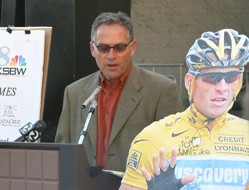
Pro cycling fans will have several choices to view some great cycling in Santa Cruz County during Stage 2 of the 2009 Amgen Tour of California on Presidents Day, Monday, February 16.
California Highway 1 at Bonny Doon Road The cyclists will zoom down Highway 1 from Pacifica, past Davenport and then turn left onto Bonny Doon Road to begin the last climb of Stage 2. There’s ample parking nearby for the Bonny Doon Beach (a nude beach). Santa Cruz Metro routes 40 & 42 stop at this intersection. Santa Cruz Metro will operate on a regular weekday schedule on President’s Day. I suggest taking #40 from downtown Santa Cruz at 8:30 AM to Bonny Doon Beach, then return to Santa Cruz on the #42 at 1 PM. Check the weather forecast, pack a lunch, use sunscreen. It’s about 10 miles of wide shoulders along Highway 1 to this point from downtown Santa Cruz.
Highway 1 at Bonny Doon Road
Bonny Doon Road at Smith Grade. You might be able to park along Smith Grade and watch as the cyclists climb Bonny Doon Road at this point. From here, getting back to downtown Santa Cruz in time for the finish might be difficult no matter your mode of transportation. Santa Cruz Metro routes 42 and 41 travel along Bonny Doon Road.
Smith Grade looking to Bonny Doon Road
Pine Flats Road and Empire Grade The cyclists hit the summit of their climb as they turn from Pine Flats Road to Empire Grade. This is a tremendous viewing opportunity if you can get parking or a ride here. Don’t expect to make it to the finish line, though: the cyclists can hit 60 mph on this steep, windy downhill through the redwood forests of Henry Cowell Redwoods State Park and along the UC-Santa Cruz campus as they zoom into Santa Cruz. Santa Cruz Metro routes 42 and 41 stop at this intersection.
Pine Flats Road approaching Empire Grade
Bay Street and High Street The peloton enters the city of Santa Cruz at high speed and turns sharply right from High Street to Bay Street. This intersection — the main entrance to UC-Santa Cruz — is well served by a number of Santa Cruz Metro routes.
On High Street just before Bay Street
Bay and Mission The route finally flattens out after the cyclists turn left onto Mission Street (California Route 1) from Bay Street. Anywhere along Mission Street between Bay and Walnut should be good for viewing. Emily’s on Mission at Laurel might be a good place to sit and watch as you have something good to eat there.
View Larger Map
Santa Cruz High School Along Walnut Street, the Santa Cruz Local Organizing Committee suggests viewing from the big lawn in front of Santa Cruz High School, which is also conveniently at the top of a hill.
View Larger Map
Front Street Hill Several viewing opportunities are available to watch the cyclists come down south down Center Street make a sweeping left turn up Front Street to the finishing stretch.
Front Street Hill
Stage 2 Finish on Front Street Stage 2 of the 2009 Amgen Tour of California finishes at the Santa Cruz Museum of Art and History where Front and River Streets meet in downtown. Several roads will be closed and parking is very limited in Santa Cruz
Santa Cruz Front at Cooper
I’ll be at the downtown finish, and I may be at Highway 1 somewhere, either in Davenport or at the Bonny Doon Road turn if I think I can make it into Santa Cruz before the racers. If you plan to be at any of these points, please leave a comment. If you plan to take photos and post them online, give me a heads up so I know to link to them.


