Jen Rizzo is working on a pitch for Bay Area car free weekend adventures, which reminds me that Spring time is allegedly soon.
A great resource for Bay Area hiking and camping is this “Transit and Trails” map showing regional destinations that are accessible through public transportation. The map was released last year and is available at some local parks and transit agencies.
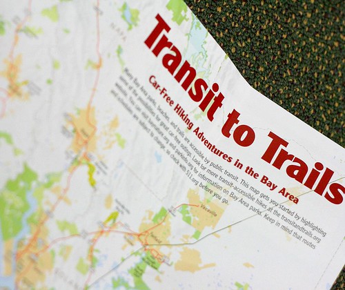
You can also download a PDF and view an interactive map at Transit & Trails. Currently, the vast majority of people visiting the one million acres of public open space get there by driving their cars. Transit & Trails’ mission is providing the information on regional recreational opportunities that are transit accessible.
And all of this reminds me that I promised the details of my own Longs Peak bicycle adventure nearly two years ago!
Visit Transit and Trails to plan your family’s transit adventure this spring.
Thanks for the post. I hope to be cycling down to the Bay area from Orcas Island sometime in the spring.
I have some family down there that suggested hiking. Do you have any pictures of the area from a hiking perspective?
Most of my California hiking photos are in the Santa Cruz Mountains. Does that work for you?
Setup a tent and have a camp out in the backyard. Roast hot dogs and marshmallows over the fire (or charcoal grill). This is a good time to study the stars
Yes, the stars are especially brilliant this time of year.
But a backyard? What’s that?
Sent from my Googaw