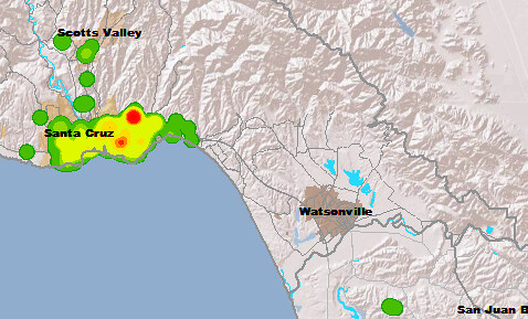
The Association of Monterey Bay Area Governments (AMBAG) sent me a heat map of bike trip data they collected through their CycleTracks Monterey Bay program. Volunteers upload trip data to CycleTracks through a website or a smartphone app for transportation planning purposes. AMBAG does transportation planning for San Benito, Santa Cruz and Monterey Counties in California.
Here’s the detail of the heat map for Santa Cruz County, showing collected data from September 2013 to January 2014.
Posted In santa cruz